Altitude: The Primary Turbulence Avoidance Tool
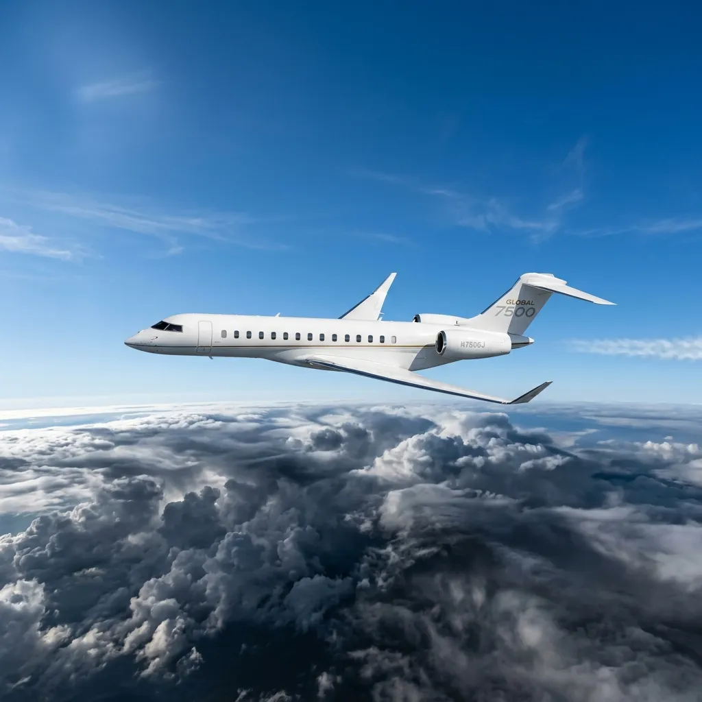
Most convective turbulence occurs below FL350 (35,000 feet), where temperature differentials create updrafts, downdrafts, and the vertical wind shear that passengers feel as bumps. Business jets cruise between FL430 and FL510, depending on aircraft type. A Gulfstream G650ER at FL510 operates 16,000 feet above the ceiling where most airline traffic and convective turbulence concentrate. A Citation CJ4 at FL450 operates 10,000 feet above FL350. That altitude separation eliminates 90 percent of turbulence encounters that airline passengers experience.
The altitude advantage compounds with a flexibility advantage. Airlines fly fixed routes at assigned altitudes, managed by ATC to maintain traffic separation. A business jet operating in uncongested airspace above FL400 has more freedom to request altitude changes. If the ride is rough at FL430, the pilot can request FL450 or FL470. That 2,000 to 4,000-foot altitude adjustment often finds smooth air because turbulent layers are typically 2,000 to 6,000 feet thick.
Wing Loading: Why Smaller Jets Ride Smoother
Wing loading measures the weight of the aircraft divided by the wing area. Higher wing loading means the aircraft is heavier relative to its wing surface, which dampens the effect of vertical gusts. A Boeing 737-800 has a wing loading of approximately 130 lbs per square foot. A Gulfstream G650 has a wing loading of approximately 75 lbs per square foot. A Citation CJ3 has approximately 55 lbs per square foot.
Lower wing loading actually makes the aircraft more susceptible to being displaced by a gust, but the effect is offset by the business jet's lower mass and higher cruise altitude. In practice, business jet passengers report significantly smoother rides than airline passengers for three combined reasons: they fly higher (above the turbulence layer), the cabin is smaller (less structural flex), and the aircraft is lighter (responds to and recovers from gusts faster, creating a shorter duration of displacement).
The physics is counterintuitive: a lighter airplane is technically displaced more by a gust, but it recovers faster. The displacement duration matters more than the displacement magnitude for passenger comfort. A business jet at FL450 hits a gust, moves 3 feet vertically, and recovers in 0.5 seconds. An airliner at FL350 hits a stronger gust, moves 8 feet vertically, and recovers in 1.5 seconds. The passenger feels the duration, not the physics.
Pilot Tools: PIREP Data, Onboard Radar, and Dispatch Intelligence
PIREPs (Pilot Reports)
Pilot Reports are real-time turbulence observations filed by aircraft already in the air. PIREPs include location, altitude, turbulence intensity (light, moderate, severe, extreme), aircraft type, and time of observation. Business jet pilots monitor PIREP data through their flight management systems, datalink weather, and ATC relay. Before departure, the flight crew reviews PIREPs along the planned route and adjusts cruise altitude or routing to avoid reported turbulence areas.
Onboard Weather Radar
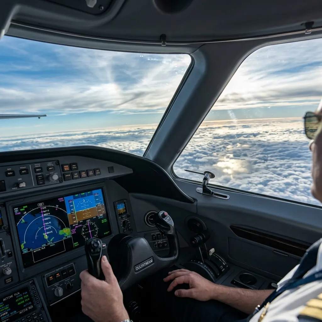
Modern business jets carry multifunction weather radar systems (Collins WXR-2100 or Honeywell IntuVue RDR-4000 in larger jets; Garmin GWX-series in light jets). These radars detect precipitation cells and display intensity on the flight displays. Convective turbulence is associated with precipitation; the radar shows where the cells are and the pilot routes around them. However, weather radar does not detect clear-air turbulence (CAT), which occurs in cloud-free conditions near jet streams and mountain waves.
Datalink Weather and Turbulence Forecasting
Business jets equipped with satellite datalink (GoGo AVANCE, Honeywell GoDirect, or SmartSky) receive real-time turbulence overlay data including NOAA's Graphical Turbulence Guidance (GTG) product. GTG provides turbulence intensity forecasts at specific altitudes along the route, updated every hour. Pilots use GTG to identify altitude bands where smooth air is forecast and plan their cruise altitude accordingly. The GTG product is more useful than PIREPs alone because it covers areas where no aircraft have recently filed reports.
- Pre-flight: Flight crew reviews PIREPs, GTG forecasts, SIGMETs (Significant Meteorological Information), and convective outlooks. Routes are adjusted before departure if significant turbulence is forecast along the planned path.
- In-flight: Radar identifies cells for lateral avoidance. PIREPs from other aircraft inform altitude decisions. Datalink weather provides continuous updates. The crew communicates with dispatch (on Part 135 operations) for routing recommendations.
- ATC coordination: Pilots request altitude changes or route deviations through ATC. In uncongested airspace above FL400, approval is typically immediate. In congested airspace (northeast corridor, FL330-FL390), altitude change requests may be delayed by traffic separation requirements.